India holds one of the world’s largest remaining populations of wild Asian elephants. That makes the country central to the species’ future, but it also means elephant conservation here cannot be reduced to protecting animals inside national parks.
Elephants move through forests, tea and coffee estates, farms, railway corridors, highways, villages and reserve boundaries. The real conservation unit is therefore the landscape.
Project Elephant
Project Elephant is the Government of India’s long-running programme for Asian elephant conservation.
Its work spans habitat protection, corridors, human-elephant conflict, population monitoring, captive-elephant welfare and coordination between states.
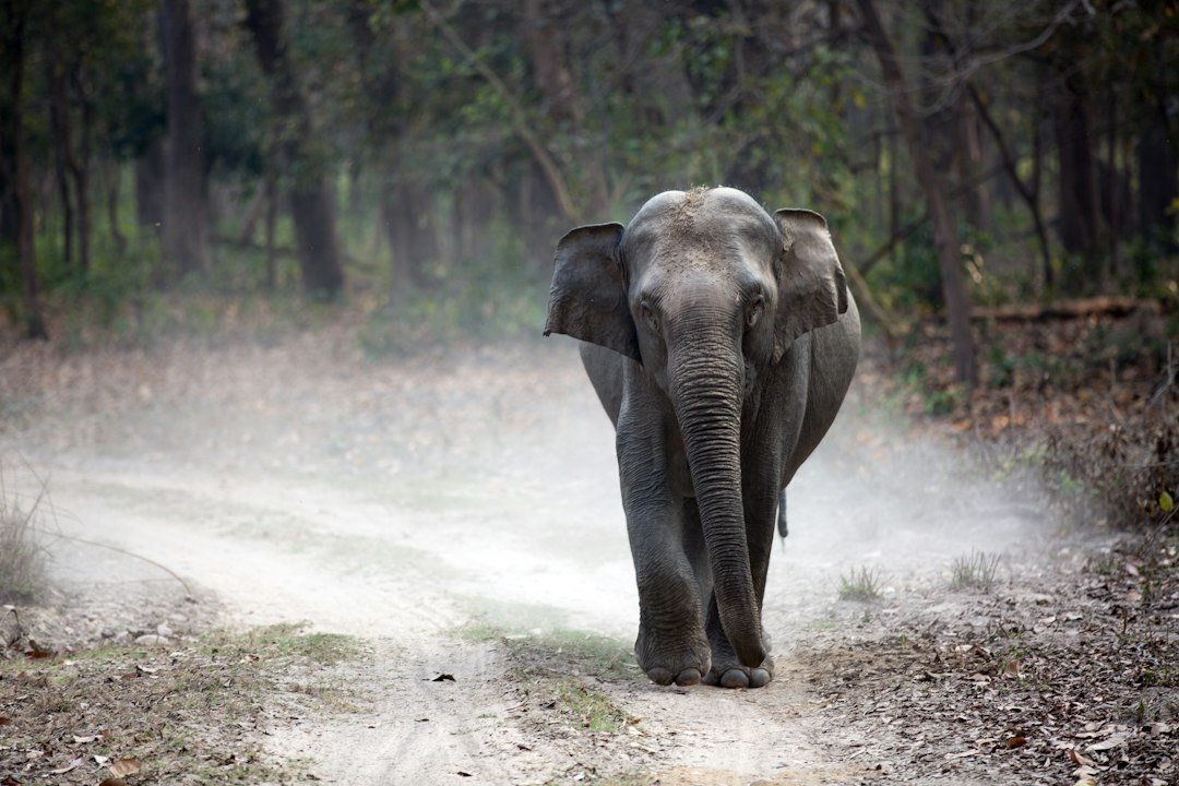
Elephant Reserves
India has designated Elephant Reserves across multiple states to recognise landscapes important to elephant populations.
These reserves can include national parks, wildlife sanctuaries, reserve forests, community land and other areas within the same wider range.
The concept is important because elephant ecology does not fit neatly inside one category of protected area.
Why corridors matter
Corridors allow elephants to move between larger habitat blocks.
When those routes are constricted by roads, railways, mining, settlement or other development, elephants may be forced through narrower passages or more frequent contact with people.
India’s corridor assessments are therefore among the most important pieces of conservation planning for the species.
A corridor is not simply a strip of forest
Some corridors include plantations, riverbeds, farmland or other modified land.
The key question is whether elephants can still move through safely.
This is why land use around the narrowest point often matters more than the average forest cover across the whole landscape.
Southern India
The Nilgiri–Eastern Ghats system holds one of India’s most important elephant populations.
Nagarhole, Bandipur, Wayanad, Mudumalai and adjoining forests form a connected landscape used by elephants across state and reserve boundaries.
Tea, coffee, roads, reservoirs and settlement complicate movement, but large areas remain functionally connected.
North-east India
Assam, Arunachal Pradesh and neighbouring states support major elephant populations across forests, riverine systems, plantations and community land.
The region combines exceptional habitat with intense infrastructure and land-use pressure.
Elephants here frequently move through landscapes far more complex than a conventional protected-area map suggests.
Central and eastern India
Jharkhand, Odisha, Chhattisgarh and West Bengal contain important elephant ranges and some of the country’s most difficult conflict landscapes.
Mining, industry, agriculture, fragmented forest and settlement can combine to create severe movement bottlenecks.
The Terai–Shivalik landscape
Uttarakhand and adjoining areas support elephants across Rajaji, Corbett and surrounding forests.
Roads, railways, towns and river valleys all interact with traditional movement routes.
Why protected areas are not enough
An elephant may spend the day inside a national park and cross a plantation, village edge or highway at night.
Protecting only the park does not protect the movement system.
This is one of the central differences between elephant conservation and management of species with much smaller ranges.
Human-elephant conflict
Conflict is one of the defining conservation challenges in India.
Crop loss, property damage, injuries and deaths create serious costs for communities living along elephant routes.
Retaliation, electrocution, train collisions and other human-caused mortality affect elephants in return.
Why conflict hotspots matter
Risk is not evenly distributed.
A relatively small number of villages, railway stretches or movement bottlenecks can account for repeated incidents.
Identifying those hotspots allows more targeted response than applying the same intervention everywhere.
Early warning
States use a range of warning systems: local networks, messaging groups, watchtowers, tracking data and fixed detection systems.
The best systems are those that provide actionable information early enough for people to avoid dangerous encounters.
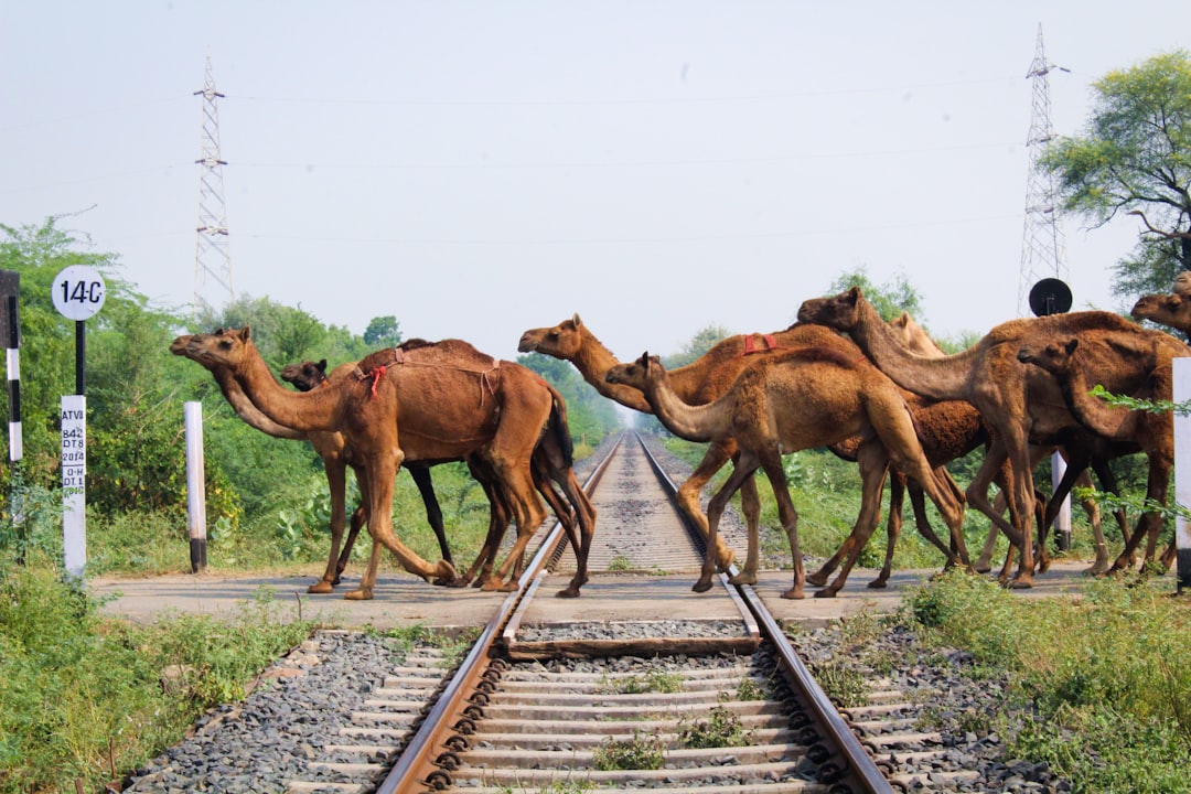
Roads and railways
Infrastructure can become especially dangerous where it intersects established elephant movement routes.
Railway collisions have killed elephants in several parts of India, while roads can fragment habitat and make crossings hazardous.
Recent work increasingly combines movement data, collision history and real-time detection to identify priority stretches.
AI-enabled railway detection
Indian Railways has been expanding intrusion-detection systems designed to detect elephant movement near tracks.
These systems can provide alerts to railway staff and potentially reduce immediate collision risk.
They are most useful when treated as one layer of mitigation rather than a replacement for corridor planning, speed management or structural changes.
Radio-collaring and tracking
GPS and radio collars can reveal how elephants use fragmented landscapes.
Tracking is especially valuable where conflict is frequent because it can show which routes are used repeatedly and where elephants approach settlements or infrastructure.
Only a small number of individuals are collared, so the data must be interpreted carefully.
Genetics
Genetic methods can help estimate population structure, relatedness and connectivity.
They are also increasingly useful for identifying captive elephants and supporting forensic work.
For wild populations, genetics can reveal isolation that is not obvious from a map.
Why habitat quality matters as much as area
A large forest block is not automatically good elephant habitat if water, forage or connectivity are poor.
Likewise, a modified landscape can still be important if it allows safe movement between better habitat patches.
Conservation therefore has to evaluate function, not only hectares.
Mining and industry
Mining can remove habitat, increase roads and settlement, and create new barriers.
Its impact is especially serious where projects overlap narrow corridors or already fragmented elephant ranges.
Once a key connection is lost, restoring it may be extremely difficult.
Linear infrastructure
Roads, railways, canals and power lines can all affect elephants differently.
Some are permeable if crossings remain safe. Others become strong barriers.
The conservation question is therefore not simply whether infrastructure exists, but how it intersects movement.
Electricity and electrocution
Illegal or poorly managed electric fencing can kill elephants.
Power infrastructure near farms and settlements can also create accidental risk.
This is one area where enforcement, engineering and conflict management overlap directly.
Crop landscapes
Elephants may use tea, coffee, rubber and other plantation landscapes as movement habitat.
These areas are not equivalent to natural forest, but they can still influence connectivity.
Recent research from Hassan illustrates how elephants navigate mosaics of coffee estates, forest fragments, roads, reservoirs and settlement.
Community participation
People living alongside elephants experience costs that distant conservation supporters do not.
Long-term conservation therefore depends on local trust, rapid response, credible compensation systems and meaningful involvement in planning.
Compensation alone is not enough
Payments can reduce financial loss but do not remove physical danger or emotional stress.
If corridors remain blocked and warning systems fail, compensation treats the consequence rather than the cause.
Captive elephants
India’s elephant conservation debate also includes thousands of elephants under human management in temples, camps, zoos, tourism facilities and other settings.
Captive welfare is a different issue from wild-population conservation, but both fall within the broader national elephant policy landscape.
Why climate matters
Drought, heat and changing rainfall can alter water, forage and movement.
Where elephants are already constrained by roads and settlement, climate stress can increase pressure on the remaining routes.
Connectivity is therefore also a form of climate resilience.
What effective conservation looks like
No single intervention will secure India’s elephants.
The strongest approach combines:
- large habitat blocks
- functional corridors
- conflict hotspot mapping
- early warning and rapid response
- safer roads and railways
- genetic and movement monitoring
- community participation
- credible land-use planning
Why the next decade matters
India still retains large wild elephant populations and major connected landscapes.
That is an enormous conservation advantage.
But infrastructure and land-use change can permanently close movement routes much faster than elephant populations can adapt.
The central challenge is therefore to protect connectivity before it is lost.
Why elephant conservation in India is a coordination problem
Elephant range crosses forest departments, railways, highways, farms, plantations and village jurisdictions.
That means one agency can rarely solve a landscape problem alone. Effective conservation requires coordination between wildlife, transport, power, agriculture and local government systems.
Why corridor protection should happen before conflict spikes
By the time repeated conflict appears, a movement route may already be severely constrained.
Protecting functional corridors early is usually easier than trying to restore movement after land use has hardened around a bottleneck.
Why conservation success should be measured locally
A stable national elephant population can coexist with severe local decline or conflict.
Managers therefore need ecosystem-level indicators such as corridor use, mortality hotspots, calf survival and conflict trends alongside national population totals.
Why corridor protection needs legal and practical backing
A corridor identified in a report is vulnerable if there is no mechanism to influence development, fencing or land conversion.
Protection therefore needs to be tied to planning rules, negotiated land agreements or other enforceable measures rather than remaining only a scientific recommendation.
Why conflict data should feed back into habitat planning
Repeated incidents can reveal where movement is being squeezed or where new barriers are creating pressure.
Conflict records are therefore not only emergency-response data; they can also identify weaknesses in the wider landscape.
Why state boundaries complicate elephant management
Elephants routinely cross from one state into another while management systems, compensation rules and infrastructure authorities may change at the border.
Coordinated planning is essential when one elephant population is effectively shared by several jurisdictions.
Why landscape plans need measurable targets
“Protect elephants” is too vague to guide implementation.
Useful plans specify corridor use, mortality reduction, response times, railway-risk reduction or other indicators that can be measured over time.
Why conservation action should be prioritised spatially
Not every kilometre of elephant range faces equal pressure.
Hotspots where movement, conflict and infrastructure overlap often deserve disproportionate attention because targeted intervention there can reduce risk across a much larger landscape.
Why continuity of policy matters
Elephant conservation operates over decades while administrative priorities can change much faster.
Long-term success depends on keeping corridor, conflict and monitoring programmes functional across political and bureaucratic cycles.
Related reading
Elephant Corridors →
Human-Elephant Conflict — scheduled for 1 December 2026.
Where to See Wild Elephants in India — scheduled for 17 November 2026.
What Project Elephant Is Prioritising in India in 2026 →
Sources
Government of India — Project Elephant conservation context
Wildlife Institute of India — Human-elephant conflict research
Government of India — elephant corridors and railway mitigation